Mismanaging assets can have huge consequences to your bottom line. If you’re not using your resources and tools efficiently, you could be losing time and money. Luckily, many of these issues can be avoided with knowledge and planning. To help, we’ve put together a list of four common problems in transportation asset management and how to solve them.
Unknown Data Streams for Infrastructure Assets
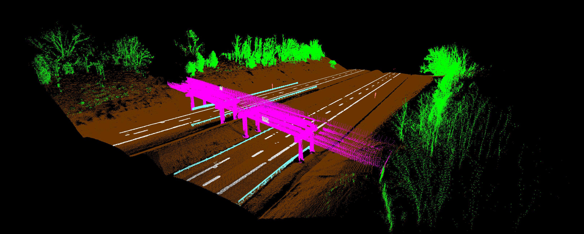
You know that quality data is essential to managing your assets. However, most transportation departments collect data using different technologies that don’t communicate with each other. On top of that, many are siloed and unaware of all the asset data their department owns. This lack of internal communication can make it difficult for you to get a full picture of your data, much less use it effectively.
PILLAR can solve this problem. We aggregate and normalize data from many different sources (from paper to pdf to complex databases) and departments, giving your organization far greater flexibility and eliminating the need for costly recollection of data you already have.
Inability to Read Data
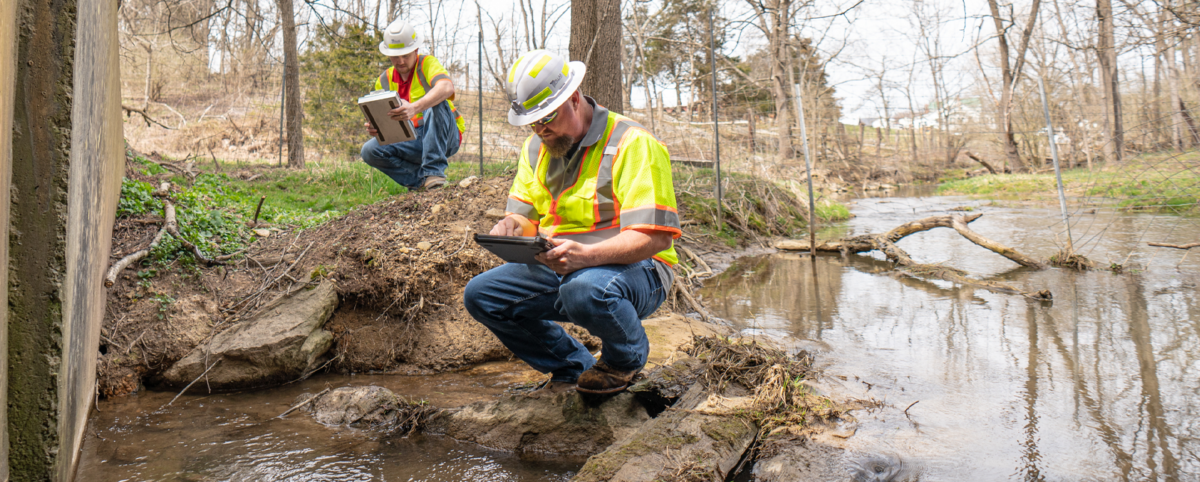
All data is not created equally. Agencies often use their own naming structures and report differently than other inventory technology. These reporting discrepancies can cause confusion and inaccurate data interpretation.
PILLAR has focused our entire agency on creating a clean, streamlined system for collecting, normalizing, and assessing data. When you work with us, you’ll never have to guess about the quality of your data.
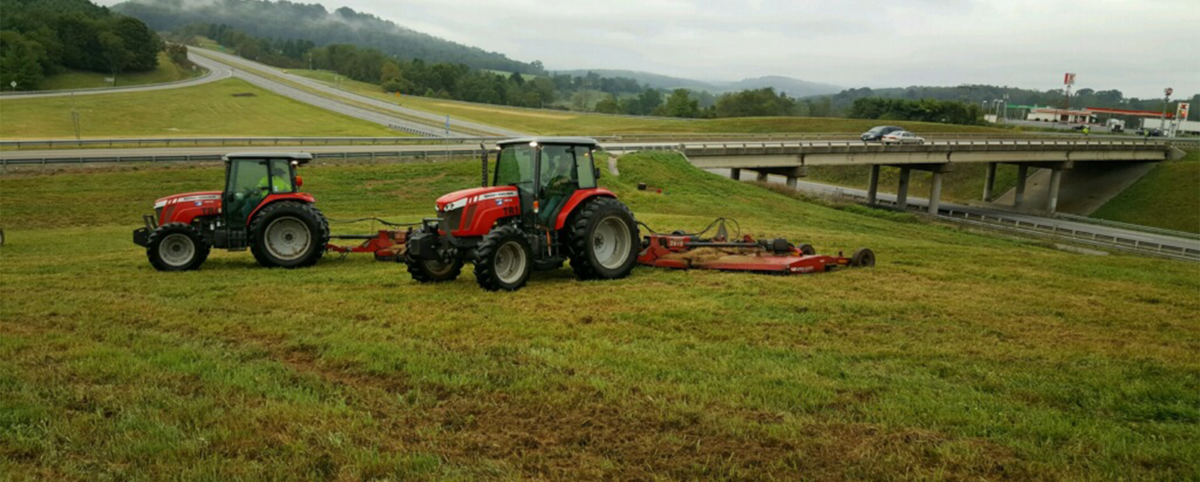
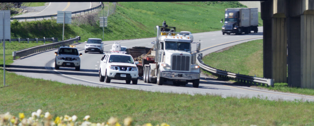
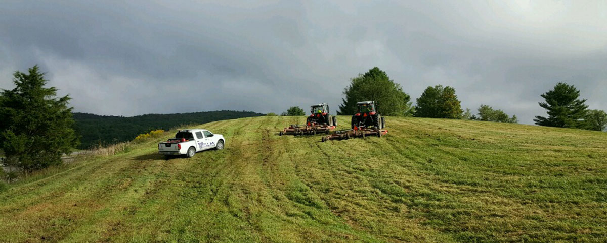
Work Schedules & Ticket Management
Trying to get ahead can be tough when you have a long list of work tickets and a continuously aging infrastructure. How can you possibly get ahead? PILLAR helps save time by logging all assets and mapping out their exact locations. We also document asset conditions using our high-quality data and assessment processes.
Many agencies use on-site assessment and realize too late that they need a larger crew and specialized equipment. With PILLAR, you avoid expensive delays and show up to the right location with the right crew, with the right equipment, at the right time.
Insufficient Funds
It’s impossible to manage your assets without proper funding. If you’re like most agencies, your funding is dependent on state/municipal budgets. Having pristine data, a streamlined plan, and stellar communication will help you communicate your needs to state/municipal officials.
PILLAR can help you get the budget you need to maintain and operate your aging infrastructure. Our bottom-up estimating forecasts your costs almost exactly, helping you justify program costs and secure funding.
Let PILLAR Help You Streamline Your O&M
There are a lot of details to track when it comes to maintaining resources and machinery. Having a streamlined system can go a long way in establishing high levels of productivity. Our entire agency is focused on maximizing the lifecycles of your assets through inventory collection, assessment, planning, and execution. Contact us today to start streamlining your operations and management.