Cut Confusion and Utilize Your Mobile LiDAR Data With CONFIDENCE
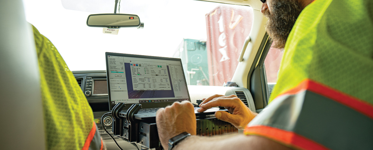
You’ve worked hard to collect data on your transportation assets and now it’s time to put that data to effective use in managing your transportation assets. But how can you be sure your data is used in the most effective way possible? We know this can feel confusing, especially if your mobile LiDAR data comes from different sources, techniques and technology and your data may be formatted differently.
PILLAR can solve this problem. We aggregate and normalize data from many different sources (from paper to pdf to complex databases) and departments, giving your organization far greater flexibility and eliminating the need for costly recollection of data you already have.
Turn Mobile LiDAR Data Into INSIGHT
PILLAR has access to “Big DATA” that helps us utilize patterns and Artificial Intelligence to identify priorities and plans. PILLAR will gather all the data files you have already collected, identify what technology generated the data, then audit it and identify a storage solution for optimal visualization for the end-user. We determine goals and help create visualization tools that provide decision-makers with accessible information at their fingertips.
What’s more, we format your data in such a way that allows your organization to analyze and compare it to other information sources. The resulting enhanced database will allow you to make more informed decisions based on more complete and interconnected information.
Turn Mobile LiDAR Insight Into ACTION
Now that you have your data in digestible and actionable form, how do you make it equally relevant to all your stakeholders? One common challenge agencies face is the Planner-Operator gap—and PILLAR can help! We understand that planners and O&M field personnel rely on the same data to meet their objectives. Our staff of professionals have been involved with Asset Management AND Maintenance Operations for decades and deeply understand how Planners and operators are interconnected through quality field data.
We bridge the gap between planners and operations by combining our engineering background with our practical field experience. When we collect, assess, analyze and prioritize data, we employ well-defined objectives to ensure that data is easily actionable for all stakeholders. With our help, planners and operators can work together seamlessly—saving you time and money. Feel confident that you are utilizing your mobile LiDAR data in the most effective way possible. Contact us today!