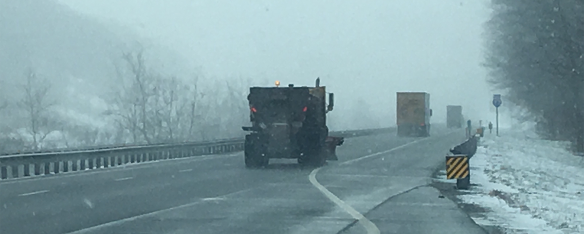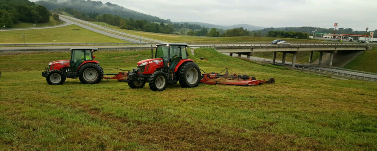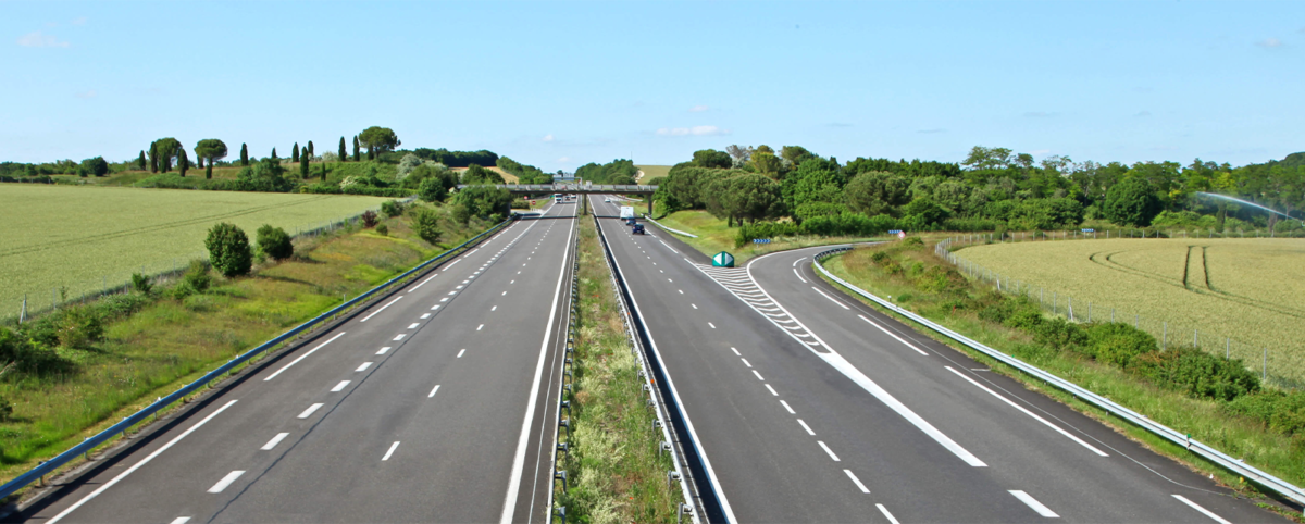
As you traveled Virginia’s roadways this summer, did you notice taller grass and wildflowers in the right-of-ways? It’s not an oversight.
As part of its overall commitment to implementing sustainable approaches to managing Virginia’s roadway system, VDOT implemented a right-of-way maintenance program that significantly reduced mowing and converted eligible right-of-way spaces into beneficial land uses such as meadowland or pollinator habitats. The root systems of plants and grasses allowed to grow in the right-of-way capture nitrogen, phosphorous, and other harmful nutrients and prevent them from polluting waterways in the Chesapeake Bay Watershed. Additionally, this practice reduces emissions and fuel use from mowing equipment and provides much-needed habitat for bees, butterflies, and other pollinators crucial to our ecosystem.
Why is this so important?
The Chesapeake Bay Watershed was once primarily comprised of forest and wetlands that absorbed and filtered harmful nutrients and balanced the ecosystem. Today, 18 million people call the Chesapeake Bay watershed home, along with industry, businesses, and farms. The watershed is crisscrossed with roads that are an essential part of daily living but carry a serious environmental impact as stormwater runs off pavement and into waterways that feed into the Chesapeake Bay. High levels of nitrogen and phosphorous fuel algae growth, blocking sunlight from underwater grasses and reducing the amount of available oxygen to marine life.
VDOT Stormwater Management Tools
VDOT operates under a Municipal Separate Storm Sewer System (MS4) permit issued by the Virginia Department of Environmental Quality (DEQ) which provides regulations to protect and improve water quality in the Chesapeake Bay by requiring the implementation of stormwater controls, including effective land use management practices such as right of way conversion.
To cover the cost of offsetting impacts that cannot be fully mitigated, VDOT is required to purchase what is called nutrient credits from the Virginia Department of Environmental Quality.
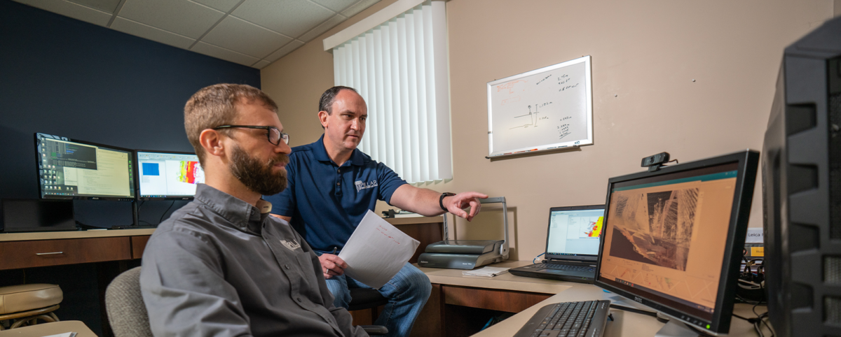
PILLAR Helps VDOT Quantify the Positive Impact of Right of Way Conversion
VDOT’s stormwater management consultant, Stantec, informed VDOT that the right-of-way dedicated to sustainable practices qualified for a reduction in the amount of stormwater controls or nutrient credits VDOT would need to implement or purchase. However, to achieve a reduction, VDOT had to quantify the total area of right-of-way included in the sustainability program.
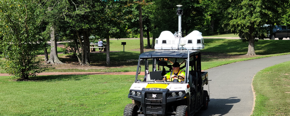
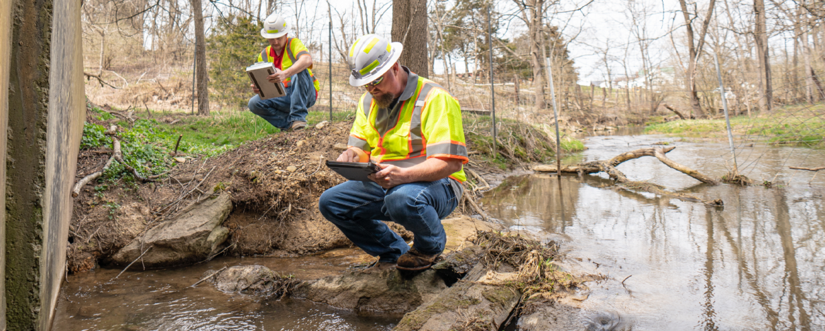
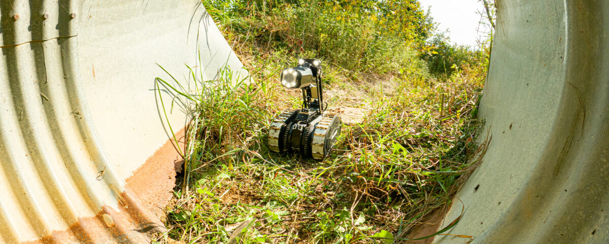
PILLAR provided the solution by using mobile LiDAR to scan and collect data on more than 775 miles of roadway and right of way in the VDOT Districts draining to the Chesapeake Bay watershed. Using PILLAR’s proprietary real-time Fully Automated Feature Extraction System (AFES) to extract the data, PILLAR quantified the amount of right-of-way under VDOT’s right-of-way sustainability program.
The result?
The amount of right-of-way in VDOT’s sustainable maintenance program was so significant that it dramatically reduced the cost of implementing stormwater controls and nutrient credit purchases, saving VDOT and the citizens of Virginia millions of dollars.
PILLAR is proud to have been recognized for our efforts to support environmental stewardship and how their maintenance plans positively impact the environment. Contact us to learn more about how our technology can help support environmental preservation efforts.