In the realm of Geographic Information Systems (GIS), data reigns supreme. It rightfully serves as the foundation for decisions, strategies, and projects for many DOTs. However, the abundance of GIS data often leads to a conundrum: how do we use it effectively?
Sifting through data to find the answers you need can be an inefficient process that eats into timelines and delays needed repairs. Fortunately, navigating this challenge is not insurmountable. When you partner with the right experts, you can turn your data dilemma into a powerful resource. Keep reading to learn how to unlock the full potential of your GIS data.
Discovery Phase: Uncovering the Context of GIS Data
When you’re grappling with vast repositories of data, determining where the data originated and pinpointing your needs is the critical first step. At PILLAR, we are experts at combining the latest technology with hard-won human experience to set the parameters for your project efficiently.
We help clients understand where the data originated and define what insights they require, like the dimensions of a structure or the location of assets. This initial step sets the stage for the subsequent extraction process.
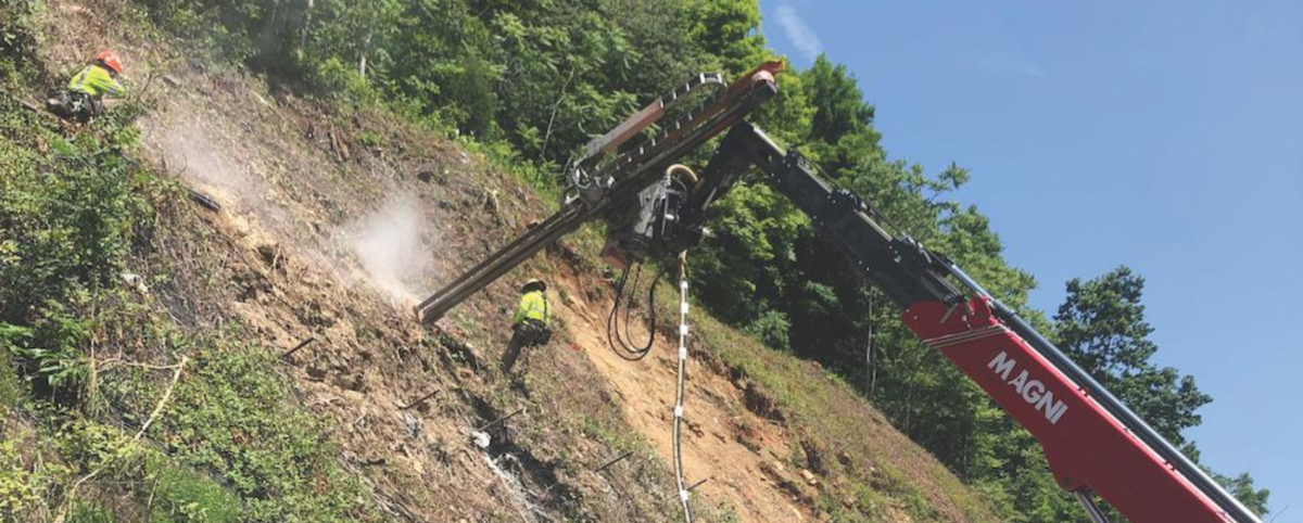
Extraction Phase: Instantly Extract Data with AFES
During extraction, PILLAR meticulously pulls GIS features, or assets, from your data—creating a usable catalog of information such as the location of guardrails or the heights of structures. Our Automated Feature Extraction System (AFES) uses multiple algorithms simultaneously to classify various assets and obtain their attributes. This process is rapid, often reducing cost and time up to tenfold. And we don’t stop there.
With PILLAR, you’ll receive a nuanced approach that blends automation with human expertise. Our experts can quickly identify any gaps in your data and employ additional methods to fill in critical information. We offer additional LiDAR scans or even a detailed, in-person inspection.
Addressing Organizational Challenges: Bridging Data from Multiple Departments
Often, within large organizations, siloed departments maintain separate datasets, resulting in fragmented data and missed opportunities. To make matters more complicated, data is often collected without consideration for downstream usability. Agencies may collect vast amounts of data but fail to render it actionable or accessible for end-users. That’s why it’s important to partner with full-service providers who not only extract and organize data but also consult on its practical applications.
Effective asset management hinges on collaboration with knowledgeable partners who can guide organizations through the entire process—from data extraction to utilization. At PILLAR, we do just that, helping you bridge the silos, and maximize the utility of your GIS data.
Work With PILLAR And Get the Most Out of Your Data
The journey from raw GIS data to actionable insights is multifaceted but navigable. By embracing a structured approach that encompasses discovery, extraction, and utilization, organizations can harness the full potential of their spatial data. Avoid the time and expense of data cleanup by working with an experienced partner that will not only gather and extract your data but also consult with you on how to use it most effectively. PILLAR is ready to help. Contact us today to learn more about how we can leverage our decades of experience to transform your GIS data from a mere resource into a powerful tool for informed decision-making and strategic planning.