Artificial Intelligence (AI) has been utilized in the background of many professions for years to analyze data and provide users with evidence-based predictions and recommendations. As developments in AI continue to make headlines, the news is greeted with a mixture of excitement and concern. It’s understandably a hot topic across industries and transportation is no different.
At PILLAR, we’re here to help. In this article, we’ve broken down some typical applications for AI in transportation and covered the ways we’re combining human experience with powerful computing to give you the gold-standard in transportation asset management.
What is Artificial Intelligence and Machine Learning?
Columbia University defines AI as, “the general ability of computers to emulate human thought and perform tasks in real-world environments.” Simply put, AI is a broad term for machines that can process, communicate, and adapt to information. Machine learning is a subset of the larger category of AI that “refers to the technologies and algorithms that enable systems to identify patterns, make decisions, and improve themselves through experience and data.”
AI Applications in the Transportation Industry
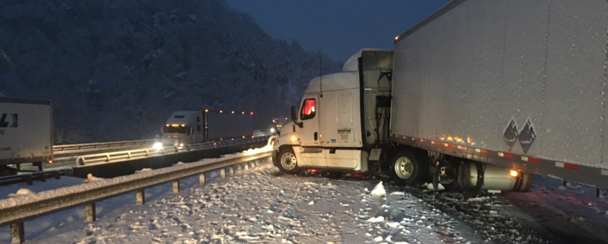
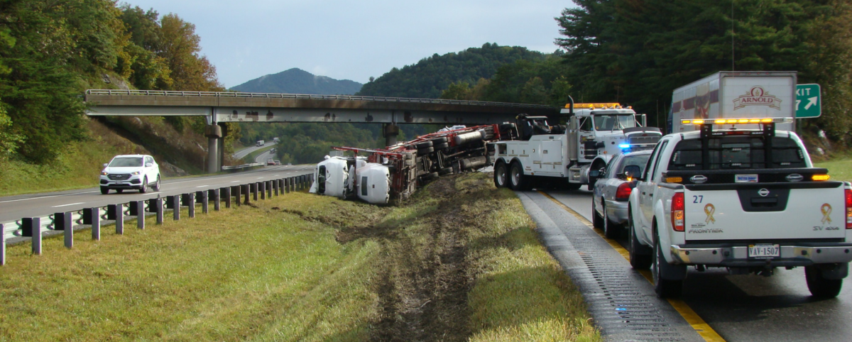
The transportation industry is notoriously complex. Each case, project, or asset is subject to hundreds if not thousands of variables, making predictions and management difficult. AI is a powerful tool to harness your data, tame the variables, and take back control of your job. Here are a few examples of how AI is addressing the challenges in transportation.
- Asset Management: AI is increasingly being used in the transportation asset management world to great effect. Managers can input data into an AI system and receive predictions on operational and maintenance needs throughout the lifecycle of the asset. Data-based predictions can also forecast the end of an asset lifecycle, making it easier to budget and plan for updates and projects.
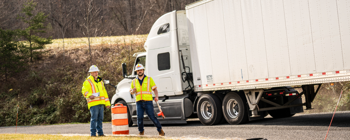
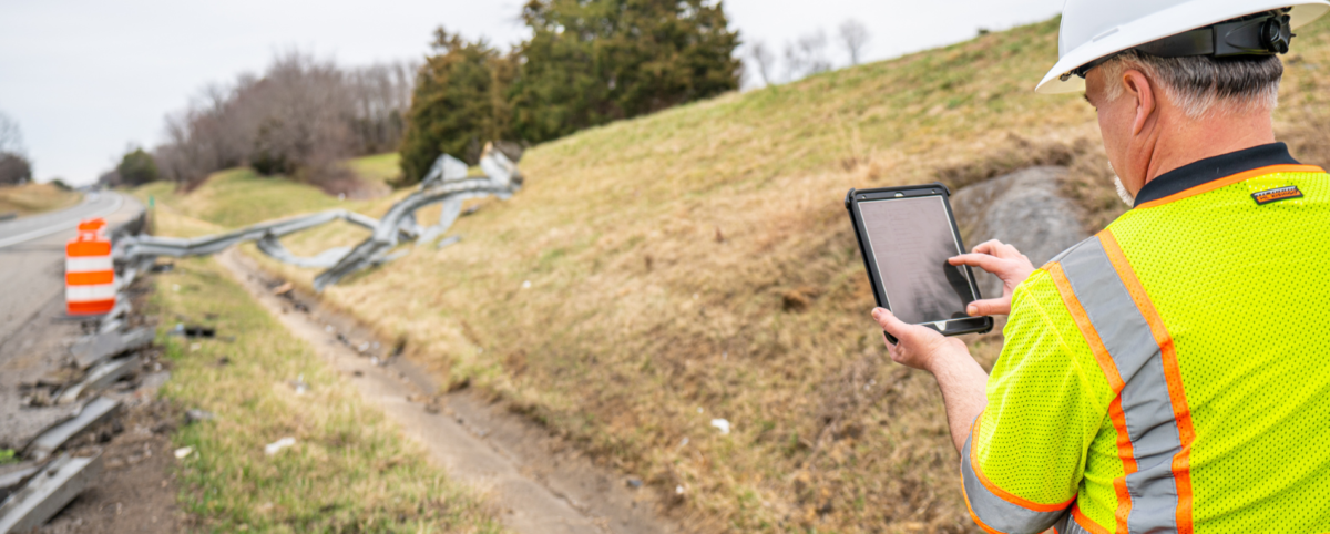
- Automated Feature Extraction Systems: With AI, gathering insights about your assets has never been more accurate or efficient. Automated Feature Extraction Systems have the capacity to gather data via photo or videos and utilize machine learning to correctly identify signs, guardrails and more. This saves managers hundreds of hours by eliminating the point-and-click method of data extraction in which managers manually combed through data.
PILLAR Combines Human Experience with Powerful Computing
It may feel like AI is ushering into a brave new world where everything is automated (including jobs). Since AI technology is constantly evolving, it’s hard to get clarity on what AI can actually deliver. At PILLAR, we find that AI shines when it works in tandem with people. That’s because while most people are no match for the computing power of AI, there’s no substitute for human wisdom and experience.
For example, our Automated Feature Extraction System (AFES) uses multiple algorithms simultaneously to classify various assets and obtain their attributes. AFES reduces cost and time up to tenfold—that’s a huge cost savings for resource-strapped departments! But the system isn’t running the show. That’s the job of our experts who understand every aspect of AFES in addition to the transportation industry landscape. If AFES provides wrong outputs, our experts know it immediately and can course correct. At PILLAR you get the power of AI to increase efficiency but the wisdom of experienced professionals to keep you on track.
Contact PILLAR
AI is only as good as the data you feed it and the people who manage it. We view AI as a tool to help transportation asset management companies save time, money, and lives.
One of the best ways to reap the benefits of AI for your transportation asset company is to work with experts who can help. At PILLAR, we integrate AI into our solutions for dozens of happy clients through our proven CAPE® approach. It’s a smart solution that fuses technology with human expertise to navigate challenges with precision.
Contact PILLAR to learn more about how we can help make AI work for you.