Apple fully embraced LiDAR technology when they released the iPhone 12 Pro that came equipped with a LiDAR scanner, giving users the ability to engage with augmented and virtual reality technologies more easily. With LiDAR now available to any smartphone user, you may wonder if iPhones can be used for transportation asset collection. In […]
A new partnership between PILLAR and VDOT will utilize cutting-edge technology to make Virginia a safer, more beautiful place for cyclists and pedestrians. Recently, PILLAR received a task order to inventory assets, assess, and maintain the Virginia Capital Trail. The Virginia Capital Trail was originally a scenic road that connected Virginia’s capital to the coast. […]
Is your job controlling you? With the overwhelming work it takes to keep up with operating and maintaining your transportation infrastructure, it’s easy to feel like you’re not in the driver’s seat. But it doesn’t have to be that way. The Problem You may be tempted to think that the problem is the size […]
Mismanaging assets can have huge consequences to your bottom line. If you’re not using your resources and tools efficiently, you could be losing time and money. Luckily, many of these issues can be avoided with knowledge and planning. To help, we’ve put together a list of four common problems in transportation asset management and how to […]
You know from experience that operating and maintaining transportation infrastructure is complex. It can be difficult to predict the condition of assets and accurately plan for repairs. Agencies often rely on reactive maintenance schedules and repairs motivated by public outcry, or worse, asset failure. It doesn’t have to be that way. Get a handle on […]
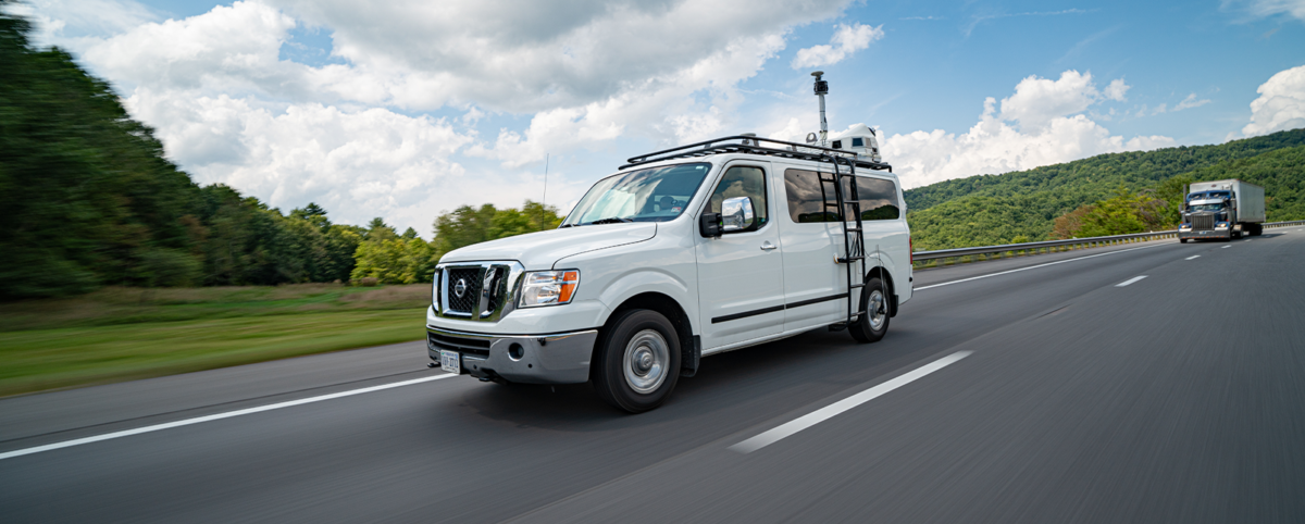
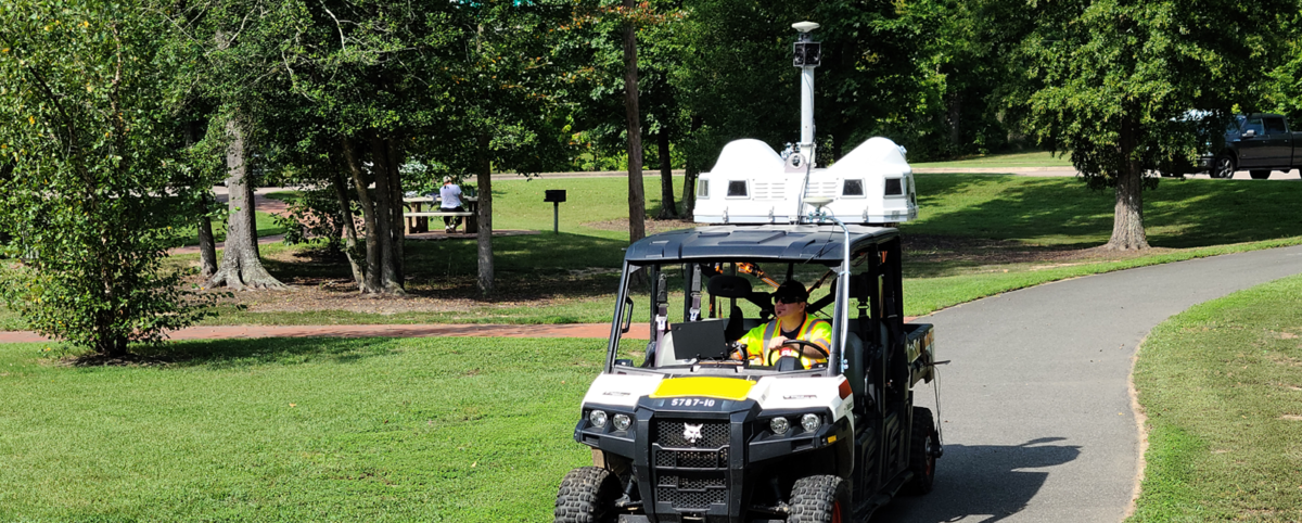
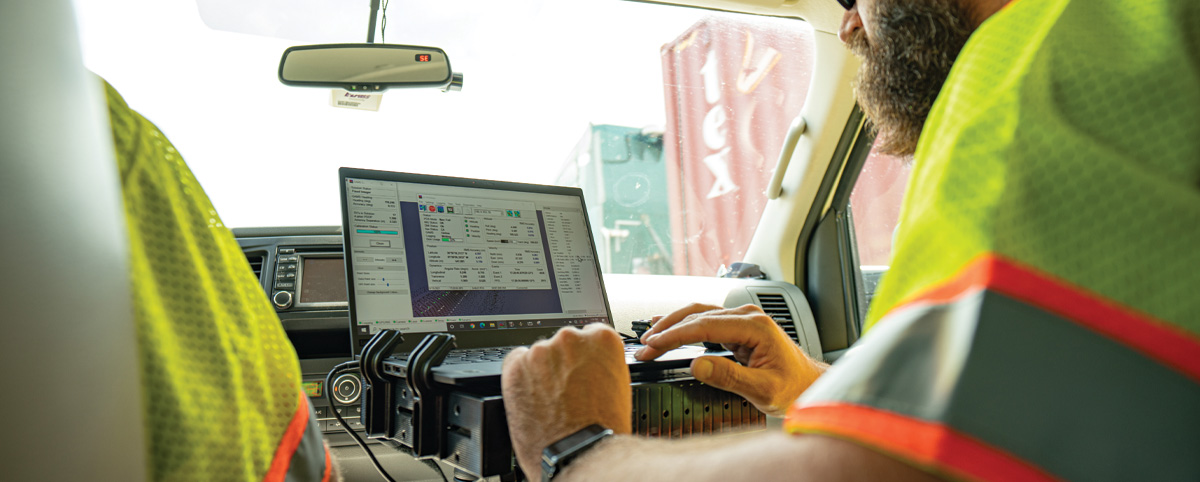
Access to high-quality data is essential to maintaining the integrity of your transportation assets, but ensuring your data is ready to use can be time-consuming and frustrating. PILLAR’s proprietary automated feature extraction system (AFES™) delivers a truly automated solution. When you work with us, you’ll never have to spend countless hours formatting data, scrolling through […]
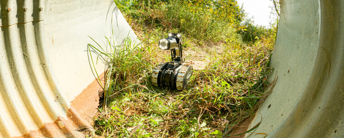
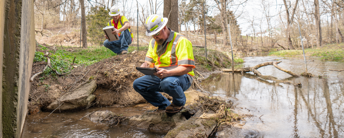
Out of sight, out of mind can be a costly error when it comes to your transportation assets. The health of your infrastructure is dependent on more than the condition of your visible assets. It relies on the functionality of an entire below-ground network of pipes and waterways that manage stormwater required to keep roadways […]
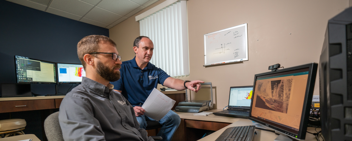
Cut Confusion and Utilize Your Mobile LiDAR Data With CONFIDENCE You’ve worked hard to collect data on your transportation assets and now it’s time to put that data to effective use in managing your transportation assets. But how can you be sure your data is used in the most effective way possible? We know this […]