Apple fully embraced LiDAR technology when they released the iPhone 12 Pro that came equipped with a LiDAR scanner, giving users the ability to engage with augmented and virtual reality technologies more easily.
With LiDAR now available to any smartphone user, you may wonder if iPhones can be used for transportation asset collection. In short, the answer is no. Read on to find out why.
What is LiDAR technology?
LiDAR stands for light detection and ranging. It works by pinging lasers off objects and calculating how long it took for the light of the laser to reflect from the object. The collected data is then used to create 3D maps. LiDAR was first used in the 1960s when laser scanners were mounted to airplanes and gained popularity in the 1980s for use in GPS technology. [1]
In the world of smartphones, LiDAR enabled devices allow users to create 3D renderings of their environment at distances up to 5 meters. Typical applications for this technology include more accurate photos, improved motion capture, and—most importantly—augmented and virtual reality experiences at home or day-to-day environments.
LiDAR and Transportation Asset Management
The Transportation Asset Management industry regularly uses LiDAR technology to maintain the integrity of transportation assets. It’s a critical tool for keeping an up-to-date understanding of the condition of roads, bridges, tunnels, rails, and more. But the process of collecting and using that data extends far beyond a single smartphone camera designed to collect data at walking speed. Although there may be some specialty use that can come from smartphones, this is limited due to the lack of large-scale data that is able to be collected.
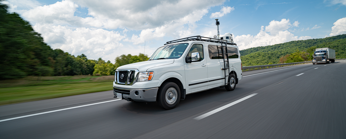
At PILLAR, our imagery scanning technology powers data collection at highway speeds to give you an impressive and detailed understanding at the street level. Our technology includes:
- 360-degree spherical
- 6 – 5MP cameras – 30MP
- Drone aerial collection
- Faster data collection: laser collection at posted speed limits enables the ability to scale.
- Street-level imagery: snapshots of roadways during data collection.
- Global view of infrastructure assets
Not only that, but we are the only company to offer a true, fully automated feature extraction solution by pairing our mobile LiDAR with AFESTM to process the data we collect. Without AFESTM you could spend hours formatting your data, scrolling through overlapping photos, and linking assets. When you work with PILLAR, you can have reliable, immediately usable data so you can act and plan for the future.
Invest in Professional LiDAR
The stakes are high when it comes to having accurate data because deteriorating assets can lead to injury and death. When accuracy is paramount, using LiDAR-enabled smartphones to capture asset data isn’t a realistic way to get the job done. These cameras can only capture environments up to 5 meters away and at walking speed. The user must manually collect a 360 view. Contrast that with PILLAR’s six 360-degree cameras that can collect images at highway speeds.
In addition, asset management requires more than just data collection, you need data you can use. Between processing time, feature extraction, and access to reliable data, it’s much more cost effective to invest in a LiDAR professional.
Contact Us
At PILLAR, our multidisciplined professionals have decades of experience to keep your assets in a state of good repair. From boots on the ground to points in the cloud, PILLAR has you covered. Contact us to discuss your needs and questions.
[1] https://www.britannica.com/technology/lidar