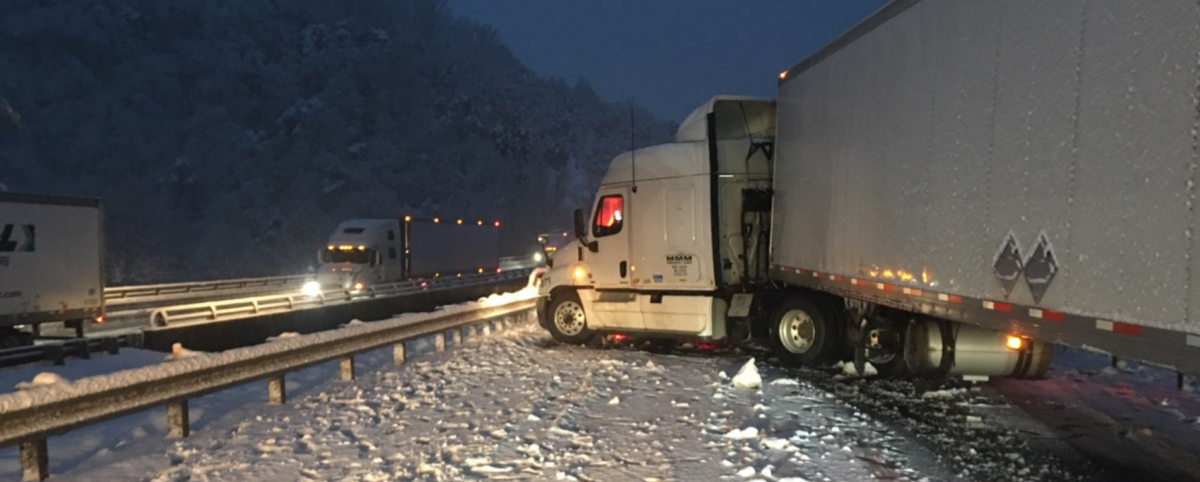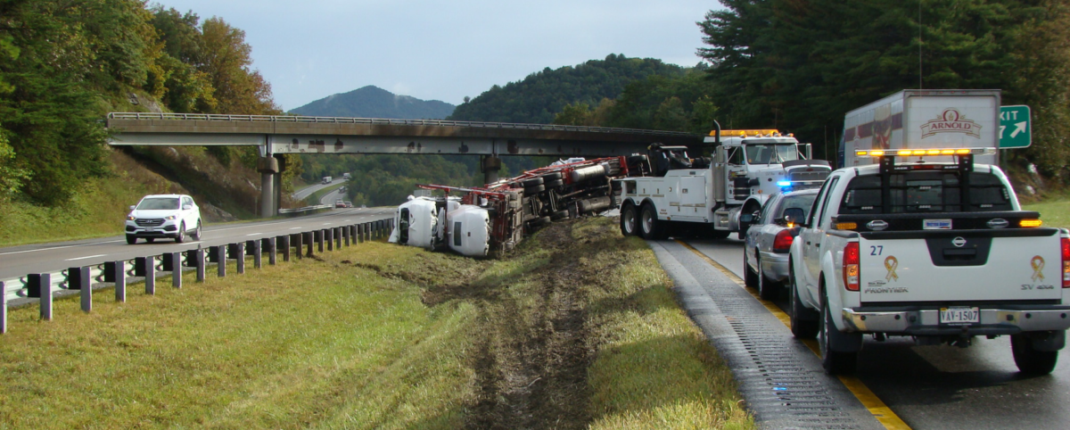
Most DOT asset managers have tens of thousands of bridges to maintain at acceptable service levels. That’s a lot of inspections and condition assessments to work through, not to mention getting the maintenance done. Worrying about the condition and safety of the bridges you are responsible for is enough to keep you up at night.
While bridge inspections and maintenance are critical to preventing catastrophic incidents, they are typically time-consuming and expensive to execute, pulling on already thin department resources. That’s why PILLAR offers solutions in the form of technology, condition assessment, maintenance plans, and more. We can help you stay organized, quickly identify needs, and address repair and maintenance recommendations so drivers stay safe.
Challenges of Bridge Assessments
Most bridges are inspected every one to two years. This may not seem daunting at first, but consider that a DOT alone manages more than 21,000 bridges and structures. The sheer volume is staggering and each of those bridge inspections can present several challenges:
- Inspecting large numbers of bridges within limited timeframes and budgets can be difficult so managers must thread the needle of thoroughness and efficiency.
- Bridge inspections generate vast amounts of data.
- Managing and analyzing this data effectively can be complex and time-consuming.
- Tracking and executing maintenance recommendations for tens of thousands of bridges requires serious manpower and can be overwhelming.
PILLAR Balances Thoroughness with Efficiency in Bridge Assessment
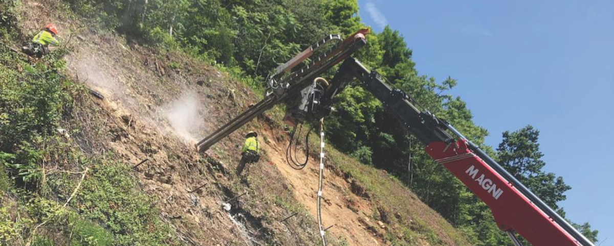
At PILLAR, we specialize in managing and maintaining transportation infrastructure, helping DOTs and management companies make the most of their resources and keep the public safe.
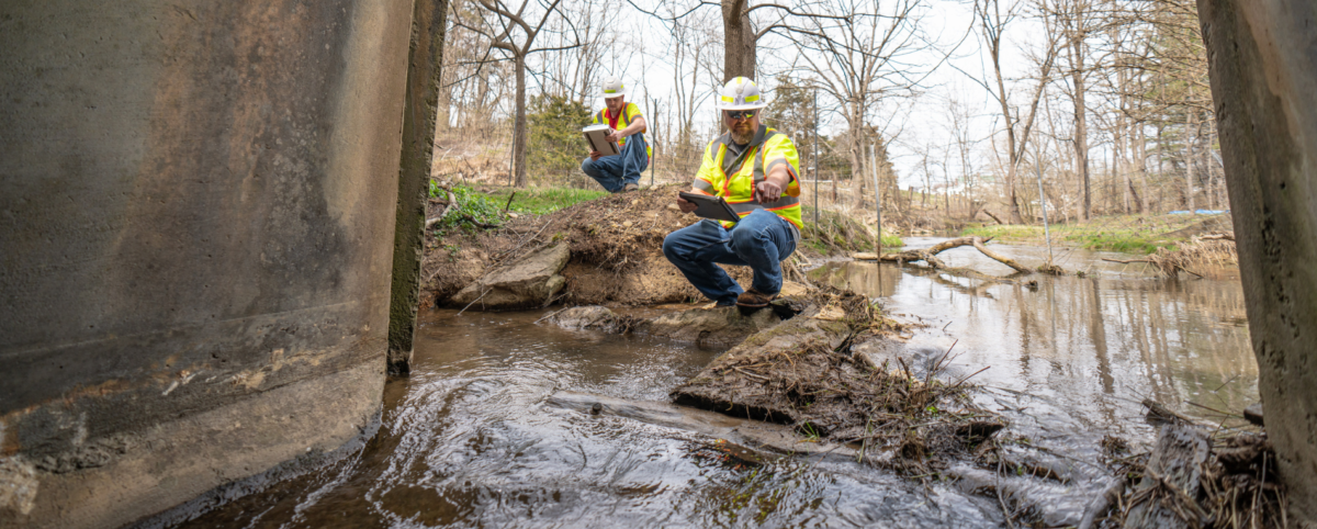
Our team is comprised of a unique combination multidisciplined professionals including structural engineers and data analysts. In addition to our decades of tactical, strategic, and operational experience, we have the technology and expertise available to collect and manage your data and use to develop a maintenance plan for any bridge. Here’s how we can help:
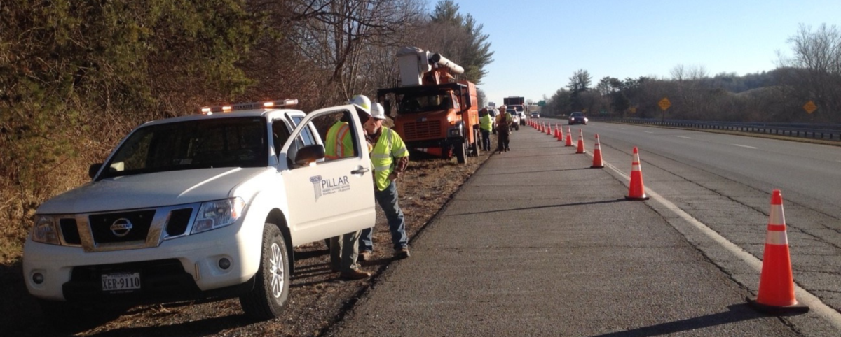
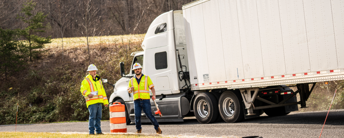
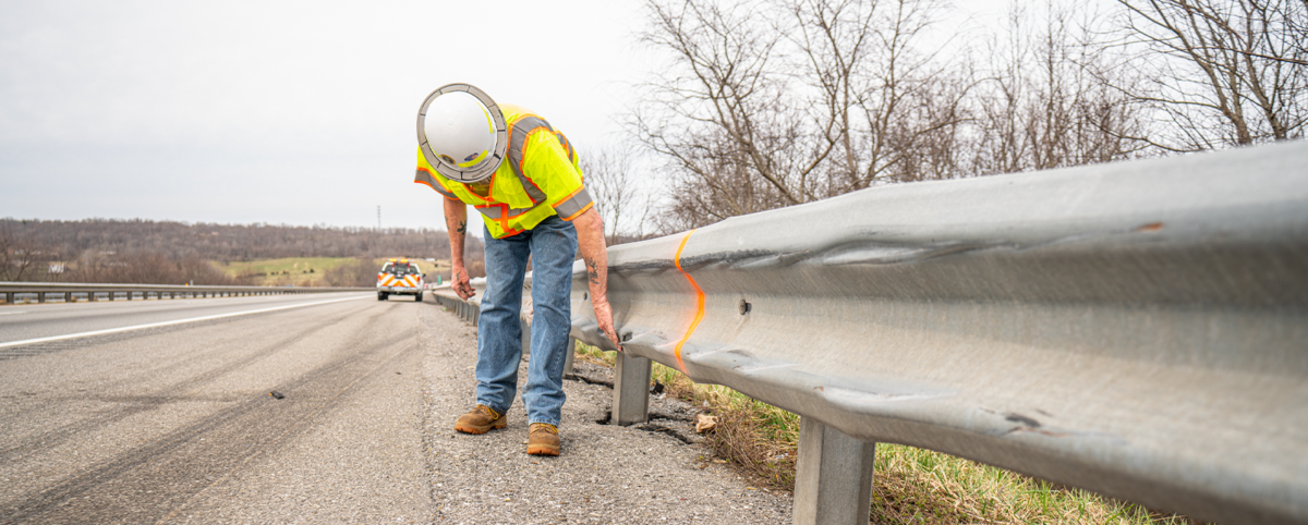
- Quantity Verification: We go into the field to verify the needs identified in your bridge assessment reports. Next, we collate the data, bundling similar repairs on several bridges. With this information you can quickly formulate a contract for completing the repairs.
- Get Repairs Done Fast: If you have a backlog of maintenance tasks, we can help! Our experienced maintenance professionals can supplement your staff and oversee repairs. You’ll have the job done professionally and efficiently.
- Documentation & Data Analysis: At PILLAR, we help you get more from your data. We’re experts at normalizing data and putting into a format you can use quickly. When you work with us, you’ll never spend hours sifting through hard copies trying to find critical information about repairs. We’ll digitize your reports so you can easily find what you need.
- Risk Assessment: With PILLAR, you can evaluate risks through identified defects or deterioration. We compare current condition data with historical records to assess deterioration rates and trends so you can quickly prioritize maintenance and repair actions based on the severity of the condition.
If you’re ready to take control of your bridge maintenance, contact us. Our team of experts is ready to speak with you about how we can help.