
Modern technology has catapulted the maintenance of roadway infrastructure to a new level. When it comes to collecting data about your assets, PILLAR utilizes the Leica Pegasus: Two Ultimate as its choice for mobile LiDAR. The laser scanning and mapping technology platform provides what we need to get the job done. This device utilizes two […]

PILLAR demonstrated its commitment to environmental issues by sponsoring a storm water program for the Leadership Roanoke Valley. Mark Boenke, President of PILLAR, agreed to sponsor the event that educated Roanoke citizens about the operations and maintenance of stormwater runoff. The event was based around the following objectives: Recognize the challenges that the Roanoke-area has […]

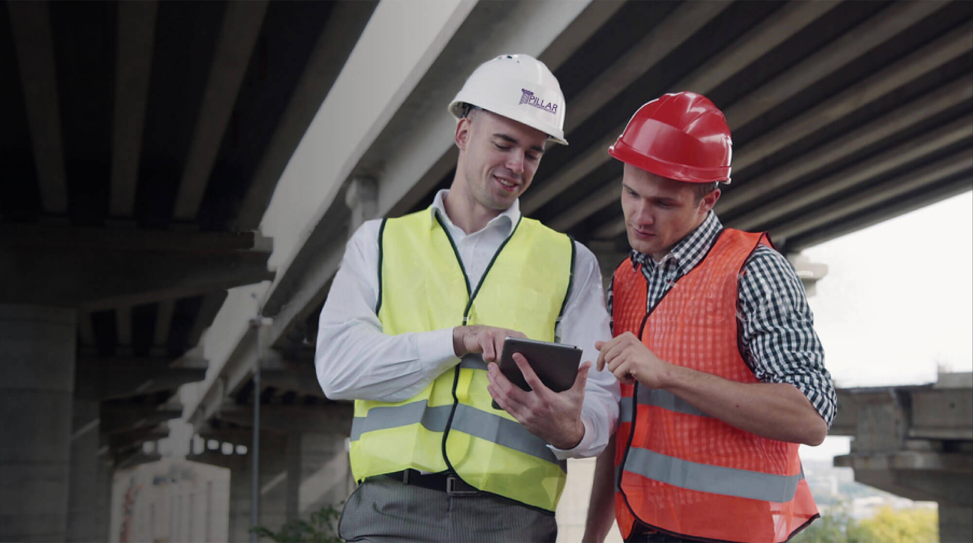
We understand generally what roadway operations and maintenance is: everything it takes to care for and operate the roadway while keeping it safe for the traveling public in the short- and long-term. We use the terms “operations” and “maintenance” together as if they are inseparable. For most projects, they are. They occur simultaneously. But what […]
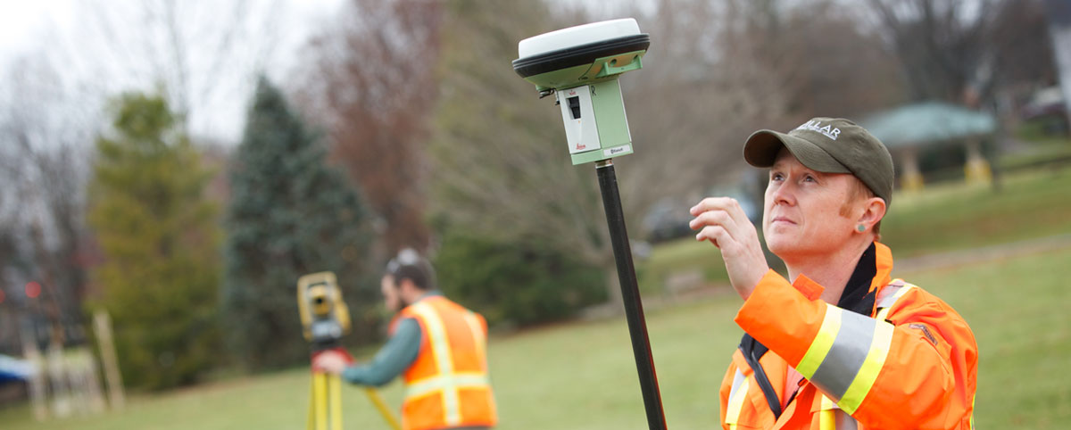
Since the days of Thomas Jefferson, the science behind mapping and surveying has continuously evolved. In those days, high tech meant a brass compass placed on a staff, or maybe a fixed leg tripod combined with a wooden stick or steel chain. This equipment had its limitations regardless of how careful the surveyor was. To […]
Understanding your employee demographics is a key attribute in a human resources program. It is a big part of what makes your organization tick, and getting it right can make a significant impact on your bottom line. Ask yourself if you plan on being in business five years from now, or 10? In this brief […]
Have you seen the ‘what I do’ meme? What better way to explain Geographic Information Systems (GIS) than debunking all the perceptions? What our friends think GIS is:Often times, all our friends remember is that it has something to do with maps and maybe phones. What our moms think GIS is:Maybe it’s due to selective […]
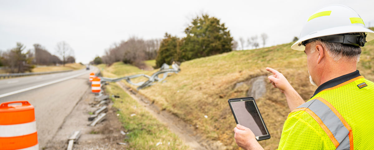
Previously, we talked about the critical importance of maintaining an accurate inventory to support asset management. Knowing your inventory is just the first step in good asset management. It’s also important to know the condition of that inventory, which brings us to the next step, assessing your infrastructure inventory. None of us is getting any […]
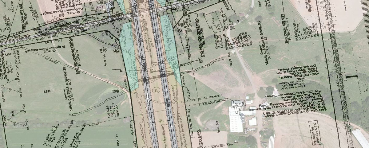
Some people see a survey plat as an overpriced piece of paper but it’s not just a pretty picture. It represents hours spent reading moldy court records and digging through centuries of legal documents about a piece of land two people transferred back and forth….and back and forth. It represents the blood and sweat shed […]