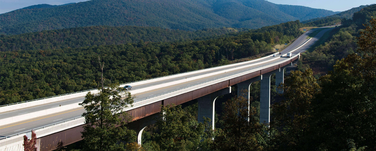
The PILLAR Team congratulates the Virginia Department of Transportation for earning the nation’s #2 best highway performance ranking. Virginia operates the third-largest DOT network in the nation and handed in an impressive 19-position improvement in the 26th Annual Highway Report from the Reason Foundation. Virginia moved up the ranks in several areas, including improving 24 […]
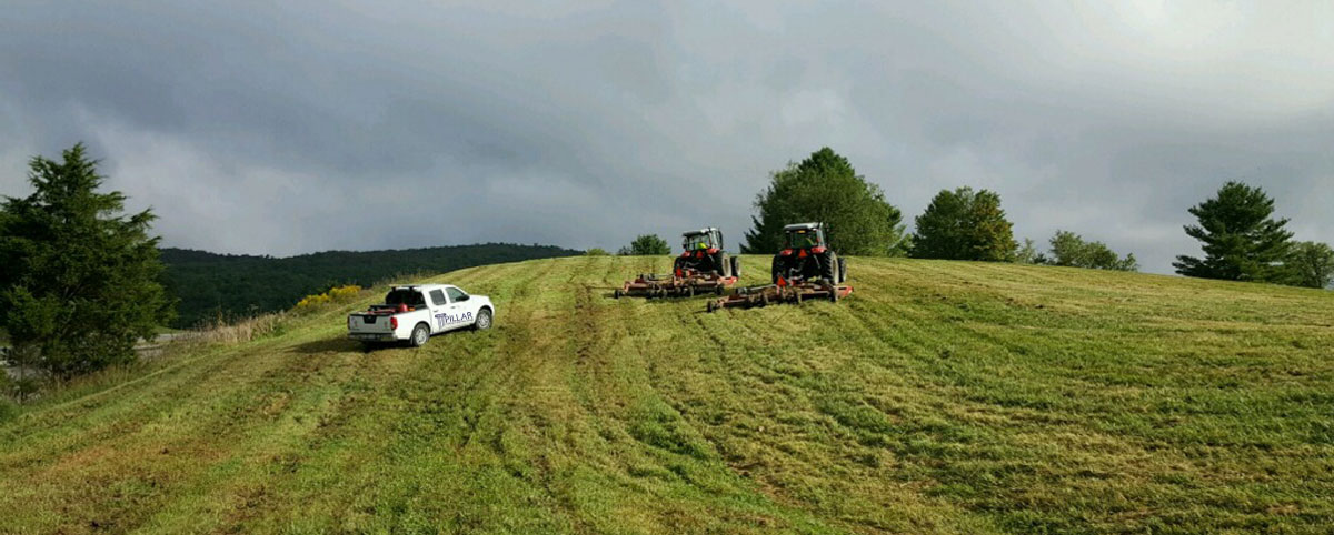
Your agency has a lot of ground to cover. Literally. Municipalities and departments of transportation have acres and acres of land that need to be managed. PILLAR can help assess the best way to tackle ground that might have to be mowed or best left unmowed and calculate the total mowable area and frequency or […]
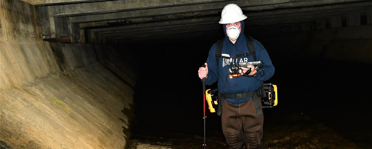
PILLAR works with departments of transportation, environmental, and engineering firms to better understand the condition of infrastructure in challenging environments. LiDAR (mobile light detection and ranging) is an advanced technology that goes beyond just providing detailed maps: the data can be used to influence critical decisions to protect critical wildlife habitats. PILLAR’s recent project at […]

Technology has made creating a geospatial inventory of transportation assets far more accessible than it used to be. However, this asset data may be accumulated from many different sources and may have been collected using disparate techniques and technology, resulting in data that is formatted differently. The inability of different systems to talk to each […]
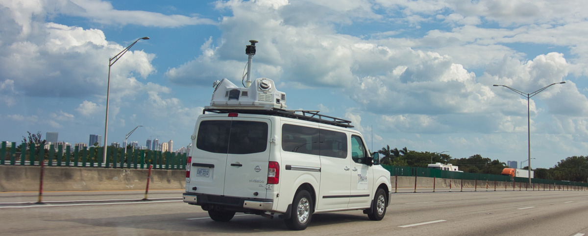
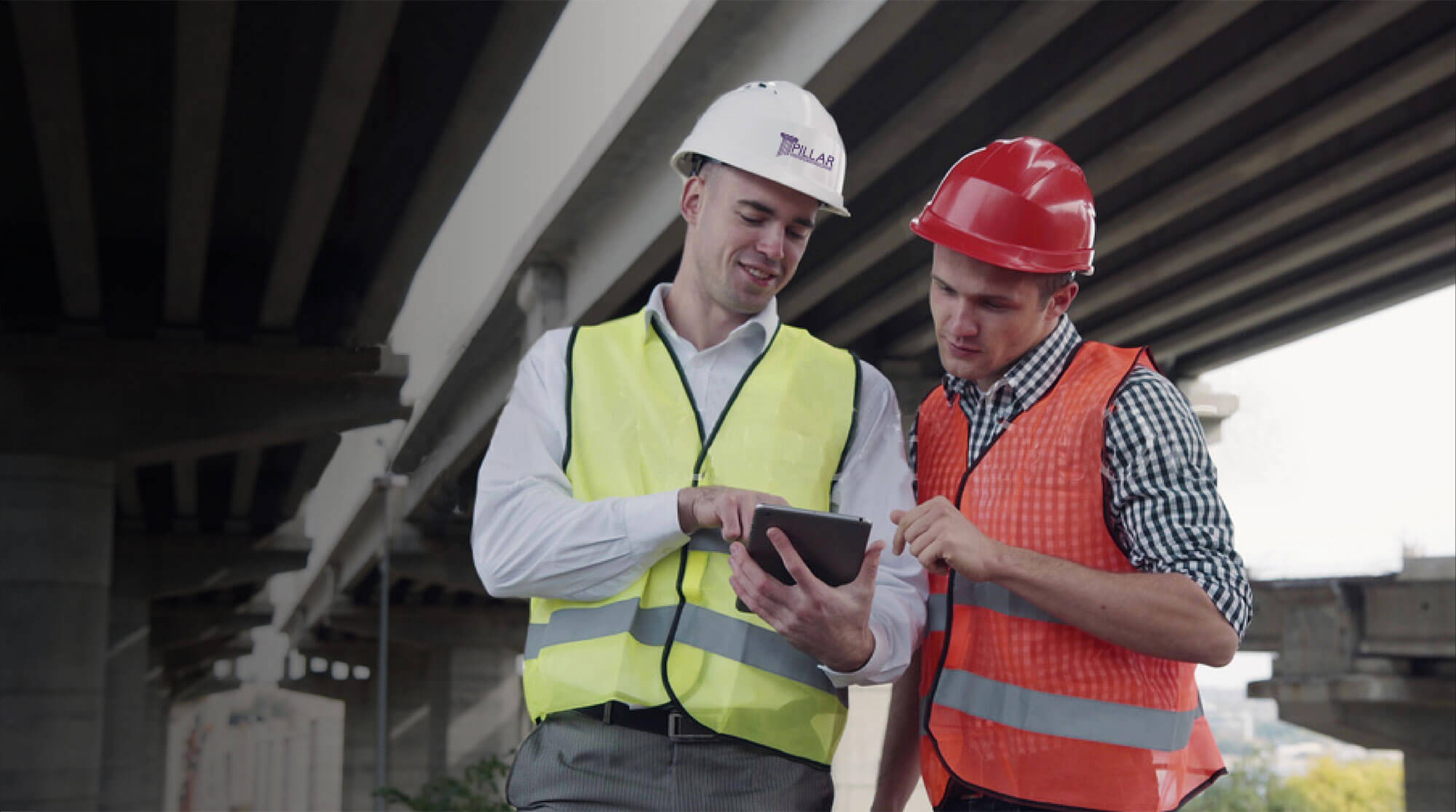
Transportation surveyors are frequently exposed to significant danger from traffic as they work to collect the asset data required to maintain, build, or repair infrastructure. The Bureau of Labor Statistics reported that transportation incidents accounted for 76% of roadway work zone fatal occupational injuries between 2011 and 2017. In 60% of these transportation events, the […]
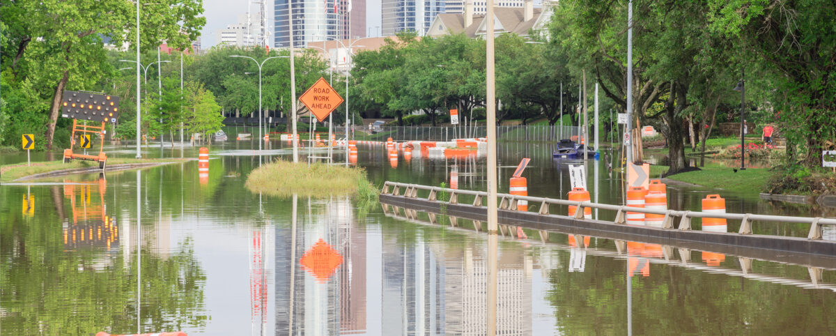
In recent years, local municipalities and the federal government have invested millions to make their cities more resilient and prepare for natural disasters, along with mitigating the imposing threats of climate change. Local and federal governments are realizing the critical role transportation infrastructure plays in assisting in disaster and climate adaption efforts and are searching […]
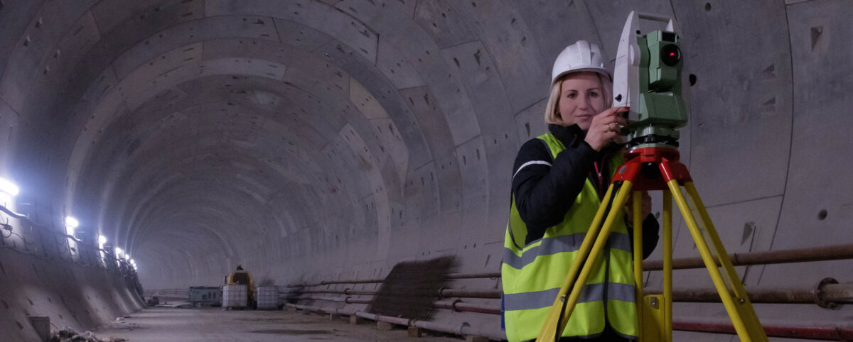
Geospatial technologies increasingly allow engineers and experts to evaluate assets quickly and accurately. Since the Department of Labor introduced geospatial guidelines for professionals in 2010, new methods and approaches have emerged with promising results. Explore these technologies and their diverse applications below. Learn how advanced firms like PILLAR can help you evaluate assets, collect data, and improve […]

Knowing the location, material, condition, and context of all your geospatial assets requires full-scale understanding. Without this global and granular view of your assets and infrastructure, it’s difficult to support decisions intended to improve assets, manage maintenance, and more. Learn some of the most important reasons you need a geospatial asset inventory including emergency management, compliance, and […]