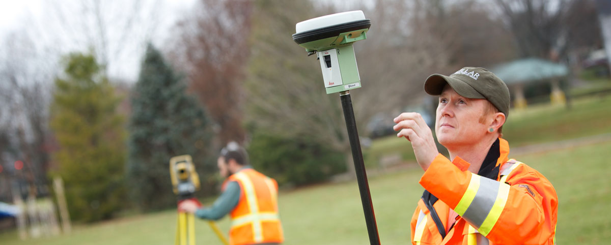
Since the days of Thomas Jefferson, the science behind mapping and surveying has continuously evolved. In those days, high tech meant a brass compass placed on a staff, or maybe a fixed leg tripod combined with a wooden stick or steel chain. This equipment had its limitations regardless of how careful the surveyor was. To put this into perspective, Mr. Jefferson would have measured an angle to the nearest degree with a device that was controlled by the magnetic forces of the earth, and horizontal distance typically to the nearest foot with a 16.5′ wood pole. To put in laymen’s terms, “there is some slop in them measurements.”
Today, a digital total station used by surveyors can measure an angle to the nearest 1 second of arc (60 seconds of arc in 1 minute and 60 minutes of arc in 1 degree), and distance to the nearest one thousandth of a foot. It’s like comparing calculating an equation using either your fingers or an HP48GX graphing calculator. If you told Jefferson you had equipment that could measure to that accuracy without even stretching a chain between two points, he and the other elders would have probably tied you to a post while they lit it on fire.
While surveying accuracy has dramatically improved, what hasn’t changed is the purpose behind mapping and surveying which is to identify a particular point on the ground. Additionally, regardless of what year it is – 1818, 1918 or 2018, – the same issues persist: missing monuments, title gaps and overlaps, encroachments, possession disputes, vague legal descriptions and on and on. A land owner usually doesn’t grasp how the science behind mapping and surveying relates to its purpose. Their sole understanding is confined within the little blue document they have in their hand that describes what they own (their deed). As a surveyor, it feels as though you hear the words “but my deed says” from clients no less than a million times during your career.
Recently, I heard these very words from a client who contracted PILLAR to retrace a boundary line along the east side of his 95-acre tract in some fairly rugged terrain. The title description was based on a physical survey performed in 1850 – yes folks, I said the year of our lord one thousand eight hundred and fifty (as written in this particular deed). He hired Pillar to do the survey because he did not agree with the boundary line previously establish by another firm.
All physical monuments as referenced in the description were destroyed over the last 167 years, leaving only two non-original markers at each end of the line in question. This client could not understand why the courses and distances didn’t match exactly what was stated in his deed. When physical monuments are missing, a surveyor must rely on these courses and distances to re-establish that boundary line. This is where the relative precision and accuracy of the equipment used when the original survey was performed must be considered.
If an original measurement was recorded as 45 poles between two points (remember 1 pole = 16.5′) and a modern surveyor produces a field measurement of 751.65′ between the same two points, try to consider the fact that the original surveyor was flipping a stick end-to-end up that mountain to produce a measurement.
After all, who knows what will be considered accurate and precise in the year 2184? I might just be the one who would tie you to a post…

