If you use mowing contractors, you may be familiar with the incremental “bump” in acres/prices that happens as they spend more time, labor, and resources to fulfill their mowing duties. That’s because often contractors accidentally begin mowing more and more areas. This scope creep is unintentional; sometimes, it’s just a normal byproduct of the job and it happens more frequently when there’s a lack of clear acreage guidelines.
To help contractors stay on track it’s important to regularly assess your mowing acreage. It may seem like a small detail but being clear about how much acreage you’re responsible to mow can save you millions.
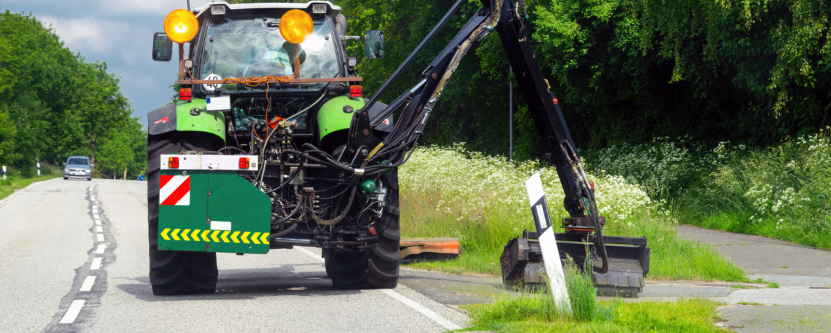
How PILLAR Calculates & Classifies Mowable Area
PILLAR specializes in providing rapid and accurate data collection and assessment so you always have the most up-to-date information about your transportation assets.
When you work with us, you’ll benefit from Mobile LiDAR (Light Detection and Ranging), a powerful mapping method. Mobile LiDAR uses laser scanning to accurately identify roadway assets and related infrastructure at highway speeds. Typically, LiDAR captures data for hundreds of miles of right-of-way a day, making it the ideal solution for use in asset management, geospatial (GIS), and surveying and mapping. Plus, our mobile LiDAR service includes a Fully Automated Feature Extraction System that saves up to 10-fold the time and cost of traditional “point and click” semi-automatic extraction methods.
With PILLAR, it’s easy to regularly assess your mowing acreage so you can keep your organization on track.
PILLAR Goes the Extra Mile So You Don’t Have To
We don’t stop at data collection and extraction. Our services also include an assessment of the terrain you’re responsible to maintain so you can know with certainty:
- the types of equipment you need.
- the time and frequency required to maintain your acreage.
The information we gather helps us configure the most efficient mowing patterns for full mows or partial mows. We also leverage our knowledge of stormwater regulations to determine if you can earn environmental stipends for mowing less frequently.
After all the data is collected, we will work with your geospatial system of choice to integrate and normalize your mowing data. The resulting enhanced database keeps your mowing contractors informed with complete and interconnected information.
Contact PILLAR
The PILLAR team has more than 100 years of combined experience working with and for municipalities and departments of transportation. Our clients trust our cutting-edge methods and results. Learn how we can help you avoid mowing scope creep to save time and money. Contact us today.