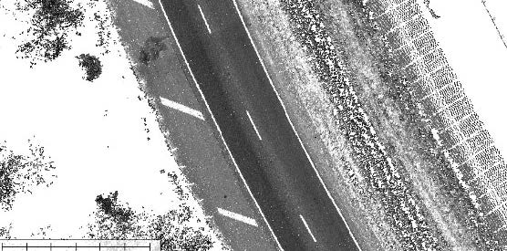
One DOT was required to address harmful roadway runoff in the Chesapeake Bay watershed by purchasing nitrogen credits. In order to qualify for a reduction in required nitrogen credit purchases and demonstrate the efficacy of their mitigation programs, the DOT needed to measure the exact acreage of impervious pavement and gather precise data of pervious areas over 775 miles of interstate.
LiDAR Chesapeake Bay TMDL Interstate Scanning