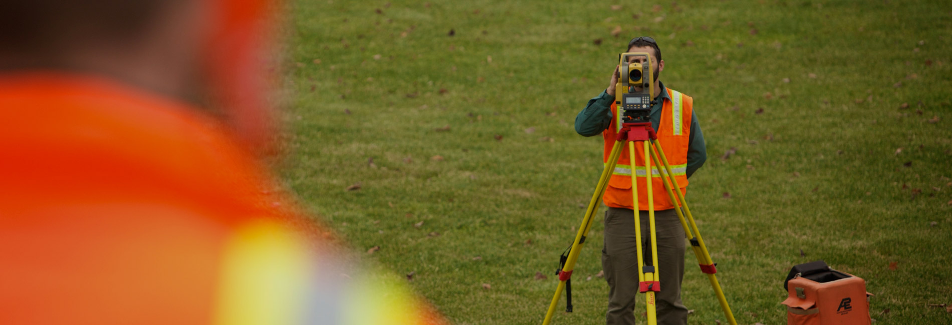
Transportation Surveying & Mapping
Meticulous and accurate surveying and mapping highlight often-overlooked issues and create a solid foundation for any operations and maintenance plan.
Knowing what you have, where you have it, and its condition provides valuable information for the development of a successful operations and maintenance plan. Incorporating existing conditions with planned changes models the final desired product. We invest in the latest technology, software, and practices to reduce delivery time, increase efficiency, and produce a complete picture.
Our Surveying & Mapping Solutions
Remote Sensing
- Mobile LiDAR
- Static LiDAR
- UAV/drone
- GPS

Planimetric
- GIS data application
- Easements & right-of-way alignment
- Material site volume computation
- Asset location
- Clearances
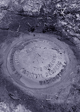
Control
- Static and RTK, including Leica Smartnet application
- Photogrammetric
- Terrain movement
- Structural movement